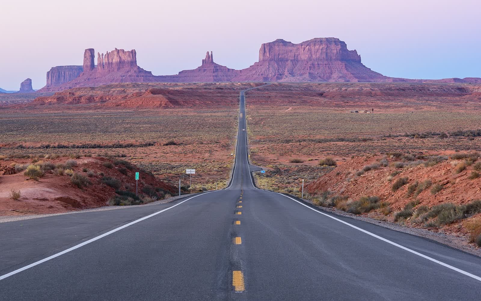
America put a town where you can only buy groceries by driving through another country, drew a state border with a surveying error, and built its most famous road, then deleted it. Forty questions on all of the above.
▸ ROUND 1
State lines
01Which state borders exactly one other state?▶
Maine. Its only neighbour is New Hampshire — everything else is Canada and the Atlantic.02Which two states each border eight other states?▶
Tennessee and Missouri. Nobody beats eight.03Which four states meet at Four Corners?▶
Utah, Colorado, Arizona, and New Mexico — the only spot in the country where four states touch.04Which state is split into two separate peninsulas?▶
Michigan. The Upper and Lower Peninsulas don’t touch — the Mackinac Bridge connects them across the strait.05What’s the smallest state?▶
Rhode Island — about 4,000 km². Alaska is more than 400 times larger.06Which state spent nine years as an independent republic before joining the US?▶
Texas, from 1836 to 1845. Vermont and Hawaii had their own independent runs too, but Texas never lets anyone forget it.07What were the last two states admitted to the Union?▶
Alaska and Hawaii, both in 1959, about seven months apart.08Which state’s name means “green mountain” in French?▶
Vermont — vert mont. The Green Mountains run right through it.09What’s the only state whose name is one syllable?▶
Maine. Go through the other 49 — we’ll wait.10Which two states skip daylight saving time?▶
Hawaii and Arizona — though the Navajo Nation, inside Arizona, does observe it. So in summer you can change time zones twice without leaving the state.
▸ ROUND 2
Rivers and lakes
11What’s the longest river in the United States?▶
The Missouri — about 3,768 km, edging out the Mississippi it flows into. Together they make one of the longest river systems on Earth.12The Mississippi starts at which lake?▶
Lake Itasca, Minnesota. At the source it’s shallow enough to walk across on stepping stones, which feels illegal for a river that big.13Which is the only Great Lake entirely inside the US?▶
Lake Michigan. The other four are shared with Canada.14What word do the five Great Lakes spell?▶
HOMES — Huron, Ontario, Michigan, Erie, Superior.15Which river forms the border between Texas and Mexico?▶
The Rio Grande — about 2,000 km of border. At El Paso the river was so prone to wandering that the two countries eventually locked it into a concrete channel to stop the border itself from moving.16Niagara Falls sits between which two Great Lakes?▶
Erie and Ontario. The falls are basically Lake Erie pouring into Lake Ontario.17Name a major US river that flows north.▶
The St. Johns in Florida is the classic; the Willamette in Oregon and the Monongahela in Pennsylvania also qualify. “Rivers can’t flow north” is a myth that refuses to die — water doesn’t care about map direction, only downhill.18What’s the driest state?▶
Nevada — around 25 cm of precipitation a year on average.
▸ ROUND 3
Superlatives
19What’s the lowest point in the United States?▶
Badwater Basin, Death Valley — 86 metres below sea level. It’s about 135 km from Mount Whitney, the highest point in the lower 48. Worst neighbours, best trivia.20What’s the highest peak in North America?▶
Denali in Alaska — 6,190 metres. Measured base to summit it rises higher off its surroundings than Everest does.21What’s the hottest temperature ever officially recorded in the US?▶
134°F (56.7°C) at Death Valley in 1913. Some meteorologists side-eye that reading, but it stands as the official world record.22What’s the largest county in the lower 48?▶
San Bernardino County, California — larger than nine US states, and bigger than Switzerland.23Most populous state?▶
California, just under 40 million. If it were a country its economy would rank in the world’s top five.24Least populous state?▶
Wyoming — under 600,000 people. There are about 70 US cities with more residents than the entire state.25What’s the largest island in the United States?▶
The Big Island of Hawai‘i — and it’s still growing, because Kīlauea keeps adding new land.26Which state has more coastline than the other 49 combined?▶
Alaska. Including islands, its tidal shoreline runs to tens of thousands of kilometres — measurements vary wildly, but no combination of other states comes close.27One of the rainiest spots on Earth is on which Hawaiian island?▶
Kauai — Mount Wai‘ale‘ale averages around 9,000 mm of rain a year. The summit is fewer than 30 km from beaches that get almost none.28What’s the most populous state capital?▶
Phoenix, Arizona — the only state capital with over a million people. (No, it’s not New York City, which isn’t even its own state’s capital. That’s Albany.)
▸ ROUND 4
Border weirdness
29Which Washington town can only be reached by land by driving through Canada?▶
Point Roberts — it sits on the tip of a peninsula that dips below the 49th parallel. The kids ride a school bus across two international borders. Each way.30What’s the northernmost point of the lower 48 — also cut off by Canada?▶
The Northwest Angle in Minnesota, stranded above the Lake of the Woods thanks to a mapmaking error in 1783. The map they used was wrong about where the Mississippi started.31Which Kentucky exclave is surrounded entirely by Missouri and Tennessee?▶
The Kentucky Bend — a loop of the Mississippi cut it off from the rest of the state. Population: about a dozen people.32Carter Lake, Iowa sits on the wrong side of which river?▶
The Missouri. The river jumped its channel in 1877 and left the town stranded on the Nebraska side. Courts ruled it stays Iowa forever.33Ellis Island is mostly in which state?▶
New Jersey. The Supreme Court settled it in 1998: the original island is New York, but the landfill that makes up most of it belongs to New Jersey.34Which state has a “bootheel” sticking out of its southern border?▶
Missouri — allegedly because one well-connected landowner didn’t want his estate ending up in Arkansas. Petty, effective, permanent.
▸ ROUND 5
Route 66 and the open road
35Route 66 ran between which two cities?▶
Chicago and Santa Monica — about 3,940 km (2,448 miles).36How many states did it cross?▶
Eight: Illinois, Missouri, Kansas, Oklahoma, Texas, New Mexico, Arizona, California.37What did John Steinbeck nickname Route 66?▶
“The Mother Road”, in The Grapes of Wrath. The other nickname, “Main Street of America”, came from the marketing people.38When was Route 66 officially decommissioned?▶
1985 — bypassed by the Interstate system. The road still exists in pieces; the designation doesn’t.39Which state has the shortest stretch of Route 66?▶
Kansas — about 21 km clips the southeast corner. Blink and you’ve crossed a state.40Area 51 sits on the edge of which dry lake bed?▶
Groom Lake, Nevada. Recruiters in the 1950s called the place “Paradise Ranch” to make the posting sound less like the middle of nowhere. It did not stop being the middle of nowhere.
More where this came from
We also keep a master list of 50 world geography questions and a meaner set of questions most people get wrong. And if reading about Monument Valley made you want to stare at maps instead, the daily riddle is right there.